Source link : https://love-europe.com/2024/07/05/cyprus/cyprus-maps-facts-world-atlas/
With an area of 9,251 sq. km, Cyprus is the third largest Mediterranean Island.
As observed on the physical map above, a very narrow band of mountains (the Kyrenia) slices across the northern edge of Cyprus. That low range of mountains reaches a maximum of 1,024 m (3,360 ft) in elevation.
In the south and western portions of the island the Troodos Mountains dominate. The highest point on Cyprus, located in the center of the Troodos range, is Mount Olympus at 1,952 m (6,404 ft). It has been marked on the map.
To the north of Nicosia is a somewhat fertile plain called the Mesaoria, it crosses the island from west to east. There are a number of rivers crossing that plain, but none of them have water year round.
Rivers are seasonal and only flow after heavy rain, and under those conditions the Pedieos is the longest river in Cyprus. It rises in the Troodos Mountains, flowing northeast through the capital city of Nicosia. It then steers east, meeting the sea at Famagusta Bay. The river has a total length of approximately 100 km.
Cyprus has over 100 dams and reservoirs, and all are the island’s principal source of water for both agricultural and domestic use.
The lowest point in Cyprus is the Mediterranean Sea at 0 m.
Districts of Cyprus Map
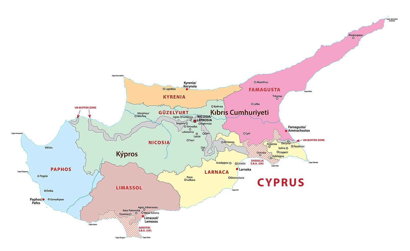
Cyprus (officially, Republic of Cyprus) is divided into 6 administrative districts (kaza). In alphabetical order, these districts are: Famagusta, Kyrenia, Larnaca, Limassol, Nicosia and Paphos. The districts are subdivided into municipalities and communities.
Situated almost in the center of the Mesaoria Plains, on the banks of the Pedieos River, is Nicosia – the administrative capital and the largest city of Cyprus. Nicosia is also the financial and chief economic center of Cyprus. Cyprus is the 3rd most populous Mediterranean island.
Where is Cyprus?
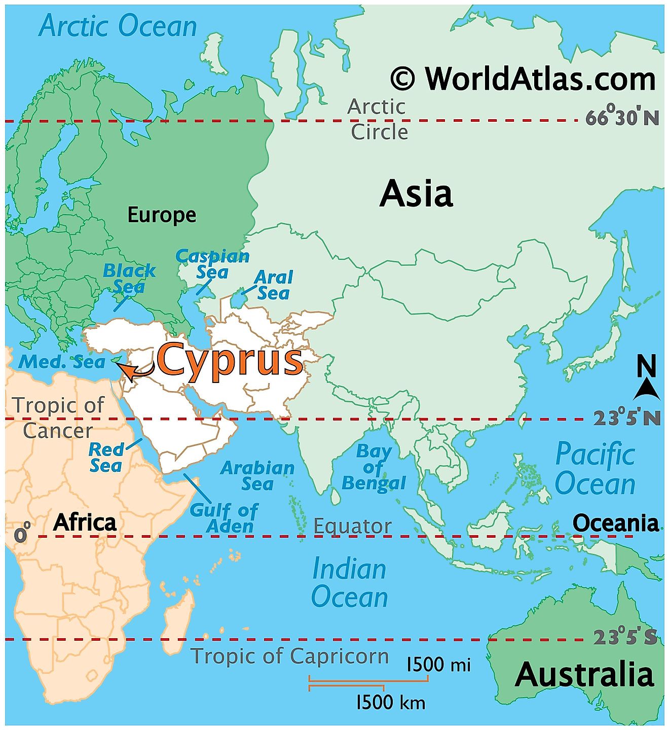
Cyprus is a Eurasian island country, located in the extreme north eastern corner of the Mediterranean Sea. Cyprus is the 3rd largest island in the Mediterranean Sea. Cyprus belongs geographically to Western Asia (Middle East) and politically to Europe. Cyprus is positioned both in the Northern and Eastern hemispheres of the earth. Across the sea, it is located to the southeast of Greece, to the south of Turkey, to the west of Lebanon and Syria, and to the north of Egypt, Israel and the Palestinian Gaza Strip.
Regional Maps: Map of Asia
Outline Map of Cyprus
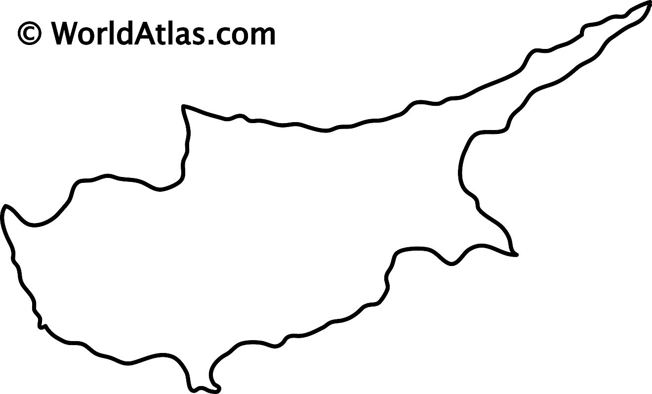
The blank outline map above represents the island country of Cyprus in the Mediterranean Sea. The map can be downloaded, printed, and used for map-pointing or coloring activities.
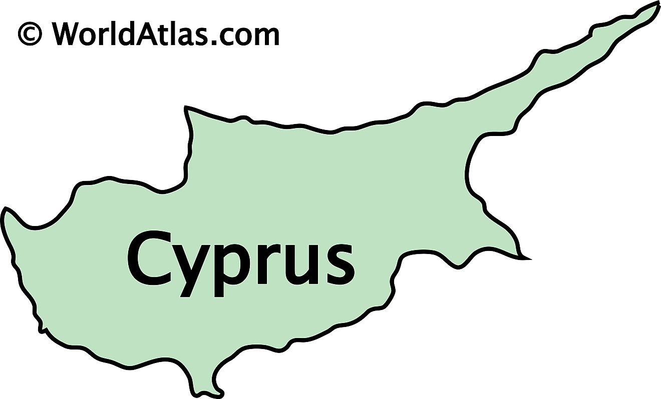
The above map represents Cyprus. The country is rougly oval-shaped with a peninsula in the northeast stretching into the eastern Mediterranean Sea.
Key Facts
Legal Name
Republic of Cyprus
Flag
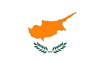
Capital City
Nicosia (Lefkosia/Lefkosa)
35 10 N, 33 22 E
Total Area
9,251.00 km2
Land Area
9,241.00 km2
Water Area
10.00 km2
Population
1,198,575
Currency
Euros (EUR)
GDP
$24.56 Billion
GDP Per Capita
$27,858.37
This page was last updated on February 24, 2021
Source link : https://www.worldatlas.com/maps/cyprus
Author :
Publish date : 2021-02-24 08:00:00
Copyright for syndicated content belongs to the linked Source.
—-
Author : love-europe
Publish date : 2024-07-05 17:46:08
Copyright for syndicated content belongs to the linked Source.